


Hydrographic and geophysical survey operations will be undertaken by INFOMAR in the Celtic Sea and Atlantic Ocean between April and October this year, according to a recent Marine Notice from the Department of Transport, Tourism and Sport.
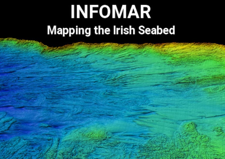
Covering some 125,000 sq km of underwater territory, INFOMAR will produce integrated mapping products covering the physical, chemical and biological features of the seabed.
Both Marine Institute vessels, the RV Celtic Voyager (callsign EIQN) and RV Celtic Explorer (callsign EIGB), will be employed for these survey operations, towing a magnetometer sensor with a single cable of up to 200m in length and a Moving Vessel Profiler cable of variable length up to a maximum of 200m.
Geological Survey Ireland will also operate four vessels, the RV Keary (callsign EI-GO-9), RV Geo (callsign EI-DK-6), RV Mallet (callsign EI-SN-9) and RV Lir (call sign EI-HI-2).
All vessels will display appropriate lights and markers and will be listening on VHF Channel 16 throughout the course of the survey.
Further details, including co-ordinates of the survey areas, are included in Marine Notice No 11 of 2020, a PDF of which is available to download below.


 Michael Murphy Schull Harbour Sailing Club (SHSC), Eric Coogan Heineken Ireland, Mark Murphy, Commodore SHSC, Jack Allen SHSC, Carmel O'Regan SHSC, Cornelious Ndlovu, Schull Harbour Hotel Operations Manager and Derval Murphy SHSC")

